
Nebraska Neighbors by Block Source
A block lookup works best as a set of narrow questions. A Nebraska county GIS viewer shows parcel shapes and civic layers; a county assessor record names a recorded owner; a deed index shows transfers; and a local neighborhood map can give a group boundary or public contact. Those sources do not combine into a list of everyone who lives nearby. Nebraska has 93 counties, and the table describes the reach of each layer and its usual access path. Separate records can help answer different questions about nearby properties without forming a resident roster.
| Source | What It Shows About a Block | Access |
|---|---|---|
| County GIS | Nebraska parcel lines, IDs, owner links, zoning, flood, tax, school, fire, and neighborhood layers where the county publishes them | County map viewer or GIS service; select each parcel |
| Assessor parcel search | Nebraska county owner name, mailing address, value, improvements, exemptions, and parcel details | County portal, counter, or written request to the custodian |
| Register of Deeds | Nebraska recorded owners, mortgages, liens, plats, and parcel chain by legal description | County index, courthouse counter, books, or microfilm |
| Voter register | Limited fields for Nebraska named registrants, such as address, precinct, party, and status | Voter lookup or election office under statutory limits |
| Permit and code records | Nebraska work, inspection, applicant, contractor, and dates when the local custodian retained them | City portal or written request; retention varies by record |
| Neighborhood association map | Nebraska voluntary group or HOA boundary and shared contact information | Local government map and association contact route |
| Church or civic archive | Nebraska meeting place, published contact, or historical community context | Local organization or archive; membership records are not generally public |
| Directory or criss-cross volume | Historical Nebraska street entries and names listed for the year | Library print, microfilm, or digitized collection |
Begin with the target parcel and add one source at a time. Nebraska county systems have different fields and dates, while community sources are local by design. A name on an owner record is not proof that the owner lives there or that another person in the household is listed. Keep the county, record type, and date beside each result so a parcel fact is not mistaken for a resident fact.
Click Nebraska Neighbor Parcels Carefully
Use a map-first workflow to define what “nearby” means before looking up owners. Open the correct Nebraska county GIS viewer, find the target address, select its parcel, and inspect the surrounding polygons. Do not assume that the next shape is the next occupied home or that all Nebraska neighbors live on the same side of a block. A corner lot, alley, public right-of-way, railroad strip, rear lot, drainage area, or several parcels under one building can change the relationship.
- Search the address in the Nebraska county viewer and confirm that the address point sits on the parcel you intend to study.
- Copy the Nebraska parcel ID, situs address, and legal description before moving to nearby shapes.
- Click adjoining Nebraska parcel polygons or pan roughly one parcel-width in each direction. Use a buffer or distance query only if that county's public viewer exposes it.
- Record whether a Nebraska parcel shares a boundary, lies across a right-of-way, falls inside a selected buffer, or belongs to the same subdivision.
- Open the Nebraska assessor result for each parcel, then verify an ownership transfer in the county deed index if that detail matters.
For Nebraska neighbors, this checks land adjacency, not proof of a shared wall, entrance, or household.
Lincoln's neighborhood-association layer is a Nebraska city service with query and distance operations, but its consumer map does not document one universal button or radius. A parcel relationship is more accurate than a casual claim that someone is a next-door neighbor. Nebraska neighbors may be separated by a right-of-way even when parcels touch a selected buffer. For the full named-street sequence, the Nebraska street directory lookup covers the broader address trail.
Nebraska Neighbors and Search Fields
Nebraska county portals vary, so treat shared search modes as a starting point rather than a promise that every Nebraska county offers each filter. The Department of Revenue's assessor and parcel directory routes to the local Nebraska system. The statewide Nebraska Assessors Online page is a county selector. The Adams County public hub is one Nebraska example with account, name, address, sale, building, and GIS routes.
The Nebraska public voter tool answers a different question: it checks a named registrant or a polling place. It is not a block browse or a way to gather a block's residents. These are the fields described for the county assessor portal sample and Nebraska Voter Information Lookup; the ZIP field is portal-dependent and should be used only when the selected county actually displays it.
| Official tool and field | Type or requirement | What it does or does not establish |
|---|---|---|
| Assessor: Account Number | Text; optional county search mode | Nebraska county parcel or account identifier for linking record systems |
| Assessor: Name | Text; optional owner mode | Nebraska owner-name search; exact or partial matching depends on the local system |
| Assessor: Address | Text; optional property mode | Nebraska situs/property address; normalize number and street suffix |
| Assessor: Sale / Building Search | Separate search routes | Nebraska sales, residential/commercial/agricultural buildings, sketches, photos, and property cards where exposed |
| Assessor: GIS Mapping | Map control; optional | Nebraska parcel selection and nearby polygons; layers vary by county |
| Assessor: ZIP | Portal-dependent | Do not assume ZIP filtering appears on a Nebraska county system |
| Sample parcel-card inventory | Result fields vary by county | Nebraska owner name, situs and mailing addresses, account/parcel ID, legal description, assessed/taxable value, exemption flags, building data, sale data, and GIS link |
| Voter lookup: First Name | Text; required for registrant search | Searches the registered first name in Nebraska's voter lookup |
| Voter lookup: Last Name | Text; required for registrant search | Searches the registered last name in Nebraska's voter lookup |
| Voter lookup: County | Dropdown; required for Nebraska registrant search | Selects the Nebraska county |
| Voter lookup: Residential location | Address/autocomplete; required for polling-place search | Finds a Nebraska polling location, not nearby registrants |
| Voter lookup: Receipt Number | Text; required for a pending change search | Checks a pending online registration, not a Nebraska block |
The Nebraska assessor portal describes owners and parcels; the Nebraska voter lookup has a name-and-county form and a separate address-to-polling-place search. Neither should be treated as an up-to-date Nebraska household count for Nebraska neighbors.
Nebraska Official and Commercial Tools
Nebraska official sources and commercial people-search services do not answer the same question. County parcel systems are tied to a named custodian and a particular property record. Commercial services may combine older public and private fragments, but a compiled profile does not prove that a person is present at a specific Nebraska home. The comparison helps keep the source, evidence, and limits visible for people checking property context.
| Source category | Useful for | Limit to keep in view |
|---|---|---|
| Official Nebraska county GIS and assessor | Parcel boundaries, recorded owner links, situs and mailing fields, improvement data | Owner is not the same as occupant; map layers and update cycles vary |
| Nebraska Register of Deeds | Documented Nebraska transfers, parcel descriptions, and recorded interests | Not a list of everyone who has lived in a Nebraska building |
| Nebraska election office and public voter lookup | Limited registration confirmation for a named person | Inspection, copying, distribution, and use are controlled by Nebraska law |
| Commercial compiled-search category | May surface leads from mixed data sources | May be stale or mismatched; cannot prove presence or bypass Nebraska record restrictions |
For a Nebraska property question, use the county custodian's record and describe its date and field. For a personal contact question, do not turn a third-party compilation into a claimed neighborhood roster or an unsupported list of neighbors.
Nebraska Neighbor Contacts in Lincoln
Lincoln, Nebraska, provides an official city map with neighborhood associations in gray and HOAs in red. It accepts an association name or address search, and the city shares group contact information when organizations provide it. The map supplies a boundary and a civic contact for Nebraska residents, not a list of residents or members. It is a local Lincoln example, not a statewide map control.
Open the City of Lincoln neighborhood and HOA map for association boundaries and public contact details in Nebraska's capital. The image is a source example of that map's community context; its scope is the City of Lincoln, not other municipalities or counties.
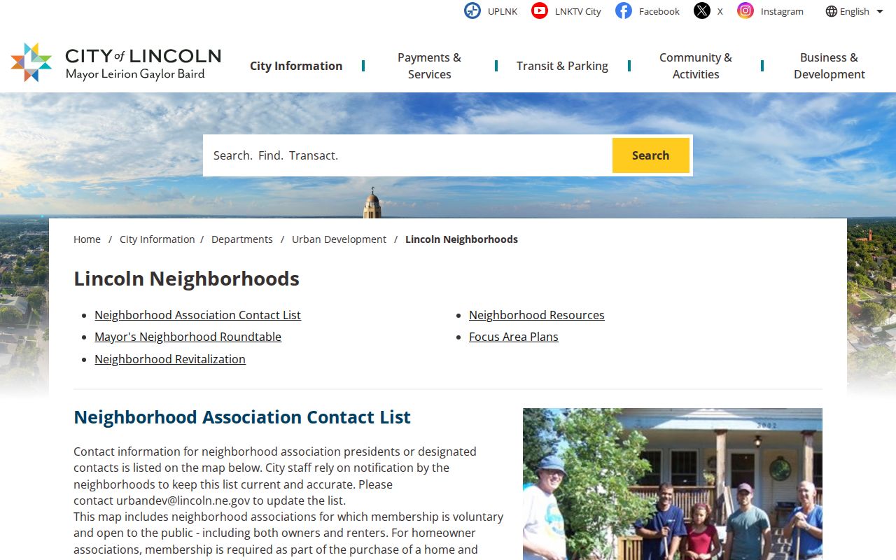
Lincoln says neighborhood-association participation is voluntary and open, while HOA membership is tied to property ownership and the association is normally incorporated. The city asks groups to update stale contacts. Readers should contact the group through its published route rather than infer which members belong from a polygon.
Nebraska GIS Layers for Neighbors
Nebraska's Lancaster County and Lincoln map services include parcels, subdivisions, zoning from different periods, historic districts, school and tax districts, flood areas, annexations, homeowner associations, and neighborhood organizations. The public GIS service for Lincoln, Nebraska, exposes neighborhood-polygon fields such as NAME, ACTIVE, Acres, Overlay, and ID. Its service supports query, distance, and pagination, but those Nebraska features do not mean every public map has the same controls.
The Lincoln ArcGIS neighborhood-association layer shows an official Nebraska boundary. It can help place a Nebraska parcel in civic context. The image below shows the Nebraska association layer, not a parcel-owner or household map.
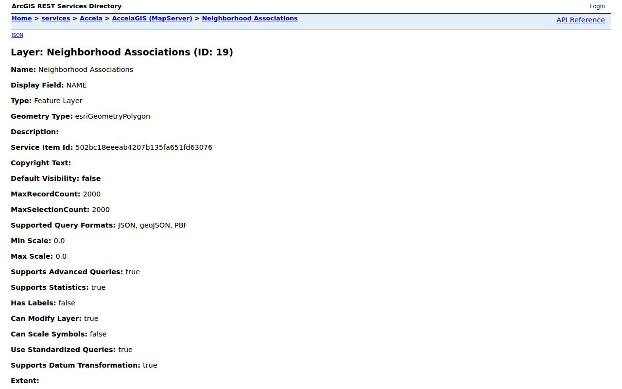
Switch between layers only to answer the matching question. Flood, zoning, school, tax, and association boundaries explain a place; an assessor record identifies a recorded owner; and a deed documents a transfer. A polygon alone does not say who attends a group or lives inside its line.
Lincoln Community Contacts
Contact a community group in Nebraska to ask about meetings or its boundary without seeking a private membership list. Lincoln's Mayor's Neighborhood Roundtable, established in 1984, meets on the second Monday of each month at the County/City Building and connects Nebraska neighborhood leaders with city government. The Lincoln page lists groups including Clinton, Everett, Indian Village, Near South, University Place, Woods Park, Haymarket, Havelock, College View, Country Club, and South Salt Creek; these are Lincoln contacts for residents in those areas.
Existing association contacts
Use the Lincoln neighborhood map and contact page to search by group name or address. Nebraska contact details depend on what each group has shared with the city and may differ by association.
Starting or updating a group
For Nebraska residents, Lincoln Urban Development lists 402-441-7606 as its contact route. The city guide advises checking for an existing group and making boundaries, contact details, meeting times, and membership rules clear for Nebraska residents.
These Lincoln resources do not represent other Nebraska cities or rural areas. For another Nebraska address, use the local municipality or county to find civic groups, then ask what contact information is public and current. Residents in another county should confirm that county's own contact source.
Historical Nebraska Directory Layers
For an older Nebraska block, reverse or criss-cross directory sections can list names by street and number for a particular year. Omaha Public Library holds Omaha city directories from 1866 onward in print, with microfilm through 2001, plus broken runs for other Nebraska towns. The OPL directory collection page shows Nebraska town-by-town coverage. Search the street section, then check the alphabetical entry and publisher's abbreviation key. A five-year sweep is a practical first pass for a Nebraska street, but gaps and changing street names need a second source.
Pair a Nebraska directory entry with census schedules, plats, Sanborn sheets, newspapers, or deeds. A directory can help place a Nebraska household at one time; it does not show current Nebraska residents. OPL has census microfilm and genealogy/local-history resources, and History Nebraska's archive collections include Nebraska maps, newspapers, and manuscripts. Their collections can be searched online, then checked through a reference request or an in-person visit. The earlier Nebraska address trail can be followed through the Nebraska previous residents search.
This Nebraska historical layer is useful for a changing street pattern and for family history. Keep the record year attached to each name so a past listing is not mistaken for a current household.
Privacy Limits on Nebraska Neighbor Lookup
Nebraska's voter register is public for examination at a Nebraska election commissioner or county clerk office, but Neb. Rev. Stat. §32-330 limits copying and distribution. A public Nebraska voter lookup checks a registrant by first name, last name, and county; its address tool finds a polling place rather than a block of people. Distributed Nebraska voter data has rules under Neb. Rev. Stat. §§32-330 to 32-331 about fields and use, and protected Address Confidentiality Program participants must be withheld. A Nebraska voter search is not permission to publish a neighborhood list.
Some details are outside a Nebraska block-level search: household members not named in a public record, utility or delivery customer lists, protected voter addresses, sealed court information, and DMV address data. The Nebraska Address Confidentiality Program uses a substitute address for qualifying participants in state and local agency records. If a Nebraska public result appears to conflict with a protected record or court restriction, stop and ask the custodian about the proper route rather than trying to uncover a hidden location.
Use the minimum Nebraska facts needed to answer a lawful property or community question. Separate a recorded Nebraska owner from an inferred household connection, and do not reproduce a set of Nebraska addresses as a roster. Public access does not erase a person's privacy or the restrictions attached to a Nebraska record.
Nebraska neighbors who share a finding should keep the source date attached and omit private household details.
The Nebraska Voter Information Lookup has a named-person registration screen; inspection of the statutory register, copying, and use of distributed files follow separate rules. For a written request to a government custodian, the Attorney General's Nebraska Public Records outline explains response timing and actual-added-cost fees.
Privacy and lawful use. Do not use a public record to threaten, stalk, or expose a neighbor. Nebraska's official voter rules restrict copying and use, and its confidentiality program exists to protect eligible residents' locations.