
Nebraska ZIP Code Directory Coverage
For this Nebraska ZIP code directory, the 2023 Nebraska Blue Book is the statewide city and ZIP reference. These entries group verified places and postal-code examples by regional family; they are a routing aid, not a claim that a city has only those codes or a full resident list. The Census geography source counted 586 Nebraska ZIP Code Tabulation Areas. USPS delivery routes can change, so use its live lookup for an exact address and the Blue Book for its full published city table.
| Postal family | Areas Covered | Post Office | Notes |
|---|---|---|---|
| 680xx | Nebraska east and south metro examples: Bellevue 68005, Papillion 68046, Plattsmouth 68048, and Omaha-border communities | Bellevue, Papillion, Plattsmouth; confirm the exact destination by address | For Nebraska parcels, postal names can differ from county or city lines. |
| 68101-68198 | Nebraska Omaha and metro delivery stations; Blue Book lists 68101-12, 68114, 68116-20, 68122, 68124, 68127, 68130-32, 68134-39, 68142, 68144-45, 68152, 68154-55, 68157, 68164, 68172, 68175-76, 68178-83, 68197-98 | Omaha-area destinations; 68113 is listed for Offutt Air Force Base, and 68133 with Papillion | These Nebraska codes include business, PO-box, and unique delivery areas; ZIP does not mark Omaha city limits. |
| 683xx-684xx | Nebraska southeast examples: Beatrice 68310, Fairbury 68352, Nebraska City 68410, Pawnee City 68420, Seward 68434, and nearby communities | Town/post-office associations listed in the Blue Book | Nebraska rural routes can serve beyond an incorporated place. |
| 682xx | Nebraska northeast and metro communities, including rural routes | Use the Blue Book city/ZIP table for exact place associations | Confirm Nebraska county jurisdiction through the physical parcel address. |
| 685xx | Nebraska Lincoln delivery stations and PO boxes | Lincoln destination post offices | Lincoln parcels are in Lancaster County; Nebraska postal areas and neighborhood lines differ. |
| 686xx-687xx | Nebraska central and northeast examples: Columbus 68601, North Bend 68649, Schuyler 68661, O'Neill 68763, Pierce 68767, Ponca 68770 | Named places and rural route post offices | A Nebraska code can serve rural routes and more than one named place. |
| 688xx-689xx | Nebraska central Platte Valley and south-central examples: Grand Island 68801-03, Kearney 68845-49, Hastings 68901, Ravenna 68869, St. Paul 68873 | Central and south-central post offices | Hastings is in the 689xx family; Nebraska county records follow the physical location. |
| 690xx-691xx | Nebraska southwest and west-central examples: McCook 69001, North Platte 69101/69103, Ogallala 69153, Sidney 69160/69162 | Western destinations | Nebraska rural areas and PO-box routes make exact-address confirmation useful. |
| 692xx-693xx | Nebraska north-central and Panhandle examples: Ainsworth 69210, Alliance 69301, Harrisburg 69345, Rushville 69360, Scottsbluff 69361/69363 | North-central and Panhandle destinations | Nebraska postal service areas cover broad rural distances. |
This Nebraska ZIP code directory table is not a complete list of rural, PO-box, single-institution, or route codes. The Blue Book includes other Nebraska places and delivery entries. Omaha illustrates why the detail matters: its 681xx group includes many stations and special delivery areas, while the Blue Book separately associates 68113 with Offutt Air Force Base and 68133 with Papillion. Check the exact street rather than assigning a code from the nearest city name.
Nebraska ZIP Codes Around Omaha's 681s
Nebraska’s many Omaha 681 codes divide postal delivery into city, business, PO-box, and special-use areas. The Nebraska Blue Book lists numerous Omaha codes rather than one code for the whole city. It also lists 68113 for Offutt Air Force Base and 68133 with Papillion, while Ralston examples include 68127 and 68128. This set shows why a ZIP label is not a clean outline of Omaha or Douglas County.
A Nebraska metro family may use an Omaha mailing city even when its parcel or local record belongs to another municipality or county. Check the full street address with USPS, then identify the parcel jurisdiction separately. An Omaha name on a mailing label gives a delivery clue, not a legal boundary or proof of where a person lives.
Nebraska has 93 counties, so an Omaha-area ZIP may cross the route to a Nebraska courthouse. Use the county assessor and parcel directory to locate the office for the physical Nebraska property. Keep the Nebraska Blue Book entry, USPS result, and county parcel record as three separate pieces of evidence.
Lincoln's 685xx and Nebraska Rural Routes
Lincoln streets are in Lancaster County, Nebraska, but the city’s 685xx delivery stations and PO boxes do not trace Nebraska neighborhood lines or county parcel borders. A mailing address in Lincoln is useful for delivery and finding the right city service; it does not tell which parcel boundary, school district, or neighborhood feature applies. Use the physical address in a city or county map when that distinction matters.
Across rural Nebraska, a single postal code can serve routes and more than one named place. The Nebraska Blue Book examples put Columbus in 68601 and Richland in that same code, while broader 686xx and 687xx families reach towns and outlying routes. Western Nebraska’s 692xx and 693xx codes span large rural areas. Do not assume a shared postal label means the addresses share a courthouse or city government.
Lincoln and Omaha sit within Nebraska’s wider urban-rural record landscape. A metropolitan address may have map layers and neighborhood names; a rural one may need county-seat routing and a land description. In either case, use the ZIP to sort mail, then use the physical address or parcel key to reach a Nebraska local record.
Nebraska ZIP Codes and Census ZCTAs
A USPS ZIP Code routes a Nebraska delivery address. A Census ZIP Code Tabulation Area, or ZCTA, is a statistical geography built from census blocks to approximate Nebraska postal areas. The Census Bureau’s Nebraska guide counts 586 ZCTAs for 2020, but says they do not represent every valid delivery ZIP. PO-box-only and single-institution codes may not appear as their own ZCTA.
Use the Census Bureau’s ZCTA guidance for Nebraska population or map comparison, not to decide where a letter will go or where a parcel lies. A Nebraska postal delivery point, ZCTA polygon, and county parcel are different kinds of geographic records. They can be useful together, but one cannot stand in for the others.
This distinction prevents a false sense of completeness for Nebraska addresses. A ZIP map layer may leave out delivery-only codes or generalize the boundary along blocks. For a current Nebraska delivery route, check USPS; for Nebraska census statistics, cite the ZCTA and year; for a home or legal parcel, use the county source.
Note: A ZCTA supports statistical comparison; it cannot validate a street address or locate the county parcel record.
Finding Residents by ZIP Code
A Nebraska ZIP code directory entry can narrow a known place, but no Nebraska public search opens a ZIP-wide resident roll. The next source depends on whether the search starts with an address or a person’s name. County assessors hold parcel data, while VoterView checks a Nebraska registration by first name, last name, and county. Neither the common assessor selector nor VoterView is a ZIP-wide browse.
- Use the Nebraska ZIP code directory or city/postal reference to identify the likely delivery area, then write down the full Nebraska street address if it is known.
- Check the Nebraska address with USPS to confirm its standardized delivery city and ZIP+4. This catches a Nebraska mailing-city mismatch before you choose a county office.
- Use the Nebraska Department of Revenue county directory to find the assessor and parcel links for the physical Nebraska address.
- Search the selected Nebraska county portal by name, address, or account/parcel number as its form allows. Use a ZIP field only when the Nebraska county vendor shows one.
- For a named Nebraska voter, use VoterView first name, last name, and county fields. Its public screen does not offer a statewide ZIP-wide resident browse.
When the Nebraska postal area has served its purpose and the question is about one street or parcel, shift to Nebraska address-keyed county records. Those records follow a physical parcel, while a ZIP groups delivery points for mail.
USPS ZIP Lookup Fields for Nebraska
Before looking at a county map, confirm how USPS standardizes a Nebraska address. The USPS ZIP Code and ZIP+4 lookup uses an exact Nebraska street address with city and state inputs to check its delivery point.
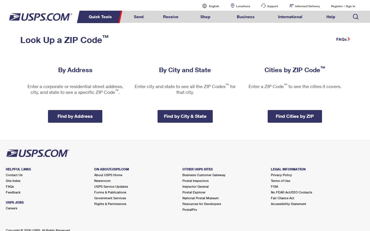
The returned Nebraska ZIP and delivery-city result help settle a mailing label, but it does not name a county assessor or define a municipal boundary. Save the standardized result with the physical Nebraska address so it can be compared with the parcel record.
| Field label | Type | Required | Options or format notes |
|---|---|---|---|
| Street address | Text | For an exact lookup | Enter the full Nebraska delivery address. |
| City | Text | As needed to match the address | Supply the local or delivery-city text associated with the Nebraska address. |
| State | Selection or text | Yes for a Nebraska query | Choose or enter Nebraska. |
| Result fields | Returned values | Output | Standardized address, ZIP/ZIP+4, and delivery-city result. |
New Nebraska address points come from local government address authorities, not USPS. The researched Nebraska timing is five to seven business days before an address can be checked in the postal lookup after the responsible city or county reports it.
When a Nebraska ZIP Crosses City Limits
For a Nebraska address, USPS says a ZIP code does not necessarily follow city or municipal boundaries. A Nebraska street, city, and state combination may route to a different destination post office than its local government name suggests. Omaha’s 681 area and the Offutt and Papillion examples show how delivery areas can meet Nebraska city and county lines without describing them. A mailing city should not be used as a substitute for the county where a parcel or court record belongs.
Keep Nebraska delivery, statistics, and land records distinct. A ZCTA is a Census geography built from blocks, not an exact USPS delivery boundary. A Nebraska parcel’s situs address is its physical location, its mailing address is where tax or other mail is sent, and its legal description is the property identifier used in deeds. Those fields can differ on a single record.
- ZIP and ZIP+4
- The postal code and its four-digit extension returned by USPS when it standardizes an exact address.
- PO-box-only ZIP
- A code used for post-office-box delivery rather than a general set of street delivery points.
- Unique ZIP
- A postal code serving one institution or organization, rather than a broad residential area.
- Carrier route
- A delivery grouping within postal operations; it is not a city, county, or parcel boundary.
For a Nebraska property, use the situs address to locate the parcel, the mailing address to understand where Nebraska tax notices go, and the legal description to follow title records. A postal code can help verify delivery but cannot settle those three local record keys.
Note: A postal city or ZIP label can help find a route, but the physical parcel determines the county office that keeps land records.
Nebraska ZIP Filters in County Portals
Nebraska county assessor systems are not one statewide search form. The Nebraska Department of Revenue county directory links to each county’s portal, and a representative Adams County search page shows account, name, address, sales, building, and GIS routes. Before assuming a Nebraska ZIP filter exists, inspect the selected county’s actual form.
Use the Adams County assessor search as a Nebraska assessor-page example, not as proof that every county offers the same fields.
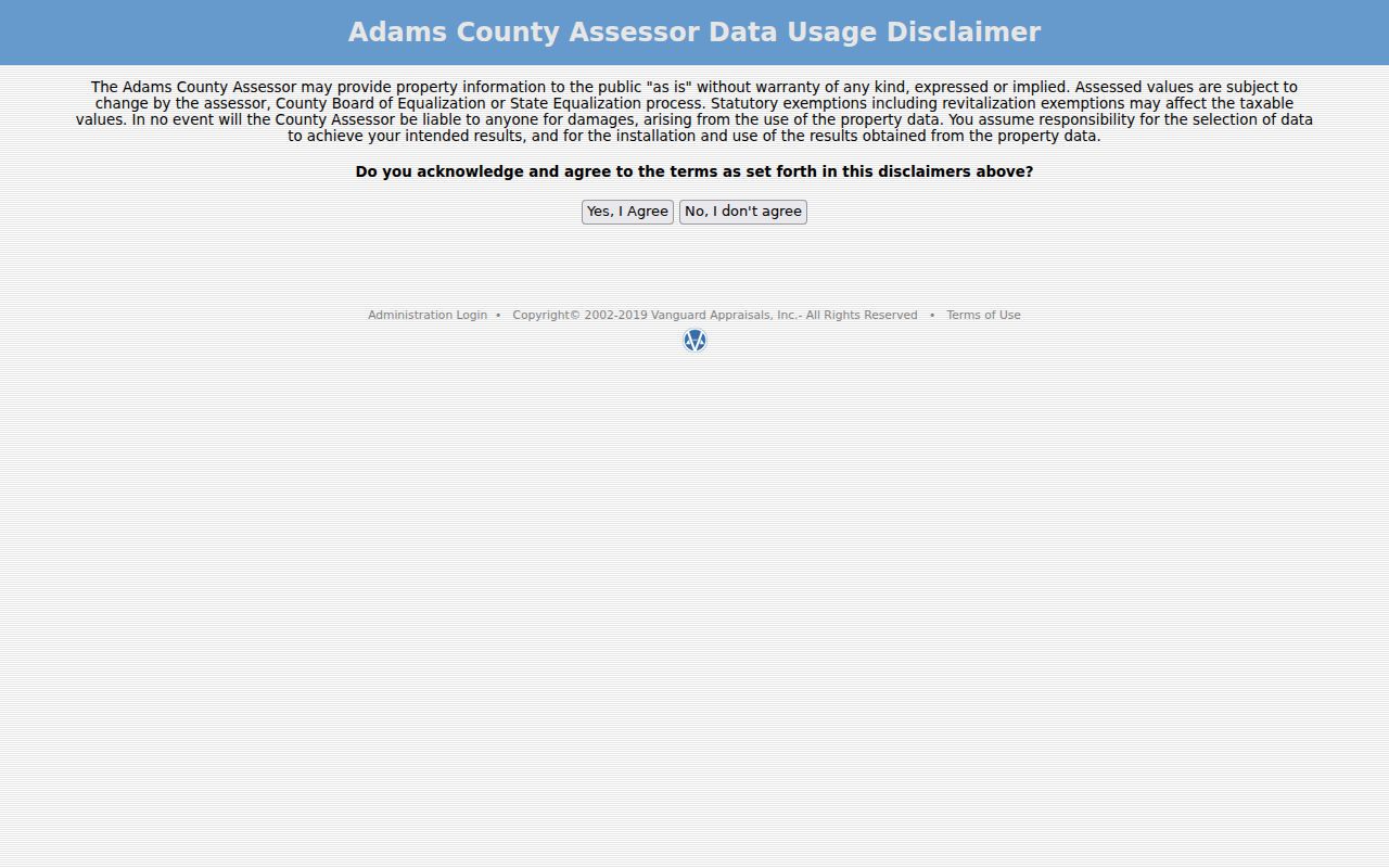
The Nebraska Assessors Online selector first routes a researcher to a Nebraska county. Its common screen does not expose a ZIP filter. A county vendor may offer one, but any result would be limited to Nebraska parcels and mailing or situs fields that vendor indexes.
| Portal field or mode | Type | Required | Nebraska county search note |
|---|---|---|---|
| Account Number | Text | Optional mode | County parcel or account identifier. |
| Name | Text | Optional mode | Owner-name search; exact or partial behavior depends on the county vendor. |
| Address | Text | Optional mode | Property or situs address; normalize number and street suffix. |
| Sale Search | Search mode | Optional | Sale fields vary by county. |
| Building Search | Search mode | Optional | Residential, commercial, agricultural, sketch, photo, or property-card routes. |
| GIS Mapping | Map control | Optional | Pan, zoom, and select a parcel; map layers vary by county. |
| ZIP | Text or filter | Portal-dependent | ZIP field not present on the common Adams landing text; confirm the selected county form. |
A Nebraska assessor search finds parcel records, not every person receiving mail in that ZIP. A Nebraska county GIS map can add parcel shapes or local layers if published, but a ZIP or ZCTA overlay is not a title boundary.
Address Keys Behind a Nebraska ZIP
A Nebraska address can carry several record keys at once. Its situs is the physical parcel location; its mailing address is where notices are sent; its legal description identifies land in Nebraska deed records. Parcel numbers, lot and block, subdivision names, section-township-range, or metes-and-bounds may appear depending on the county. Nebraska deed searches generally use grantor or grantee names, legal descriptions, or document numbers, not a ZIP. Do not replace one field with another when saving a search result.
Nebraska local government address authorities assign address points and report them to USPS. USPS does not assign a Nebraska street address or decide the land’s use. After a new Nebraska address is reported, allow the researched five to seven business days before checking its postal match again. For Nebraska deeds, use the parcel’s legal description or county number when a modern street number fails.
Older Omaha roads and section lines add a Nebraska-specific wrinkle: a current number may not appear in an older Nebraska deed or directory even when the parcel is the same. Compare the subdivision, lot and block, map, and former Nebraska street wording before deciding that a record belongs elsewhere. When the ZIP has narrowed the Nebraska place but the task is now a street or parcel chain, use the street-by-street record method.
Note: A ZIP can locate a delivery area, but only the county record and legal description establish which parcel or office a property belongs to.